SIGN UP

Monitor Climate Hazards in Real-Time
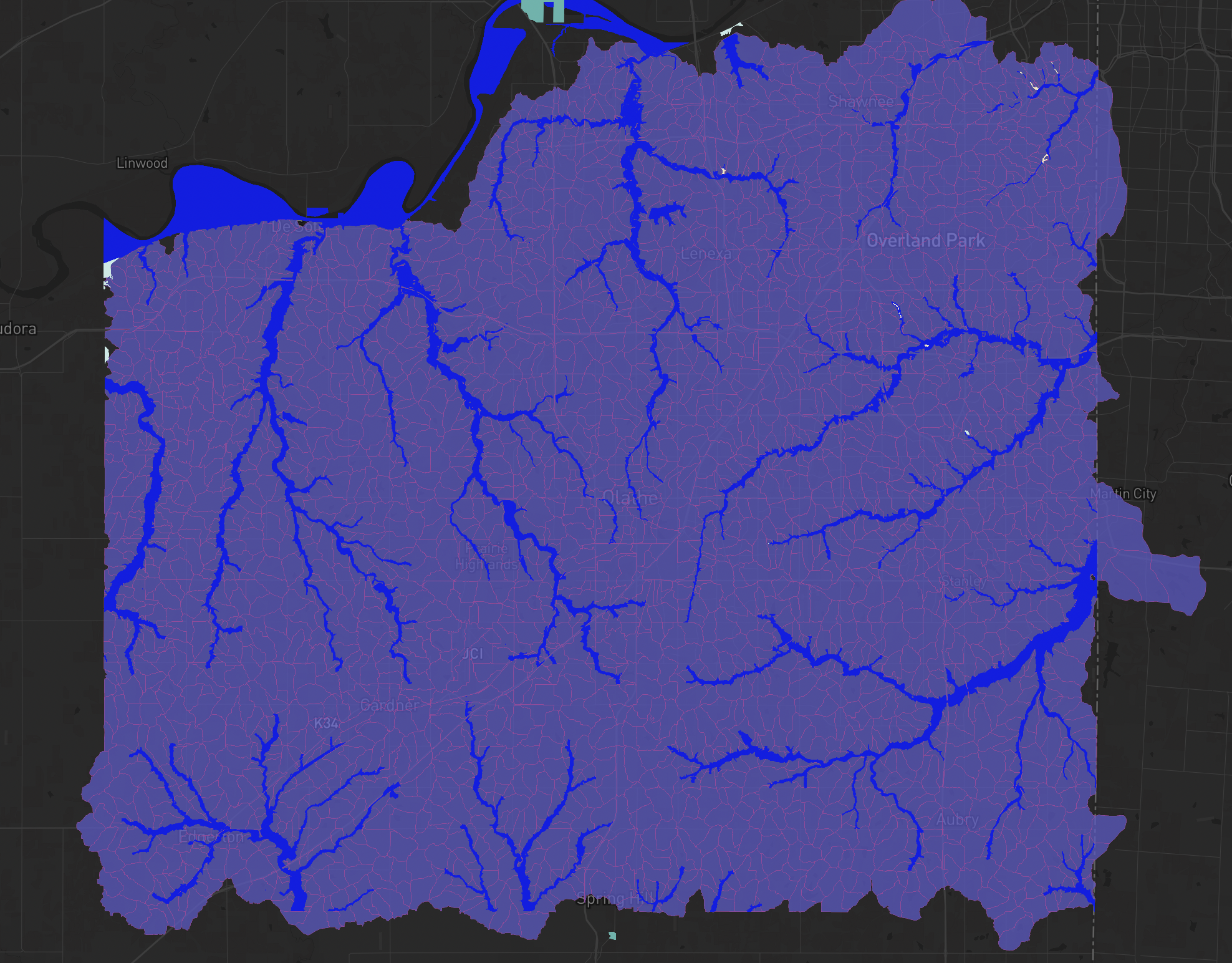
Visualize climate risks across your infrastructure systems, from flooding to extreme heat events. NEER integrates real-time data sources and forecast models to help you stay ahead of climate hazards.
Custom Alerting & Dashboards
Configure thresholds and receive automatic alerts for climate risks impacting your service areas.
Adaptation Planning Made Easy
Identify vulnerabilities and prioritize upgrades or interventions based on data-backed risk scoring.


Prioritize projects that reduce greenhouse gas emissions, conserve water resources, and improve system efficiency. NEER’s scenario modeling tools let you compare strategies and select the most sustainable solutions.
NEER’s intuitive maps and dashboards make it easy to embed climate data into routine asset management and capital planning—ensuring every decision supports a climate-ready future.

Position your agency to secure funding by demonstrating data-backed sustainability strategies and compliance with local/state/federal policies.
Role-based access, MFA, and audit logging ensure only the right people access your data.
Data is encrypted end-to-end with continuous monitoring and industry-standard protection.
We’re on track for SOC 2 Type I. Our infrastructure partners are already fully compliant.
